NASA, SpaceX Advance Wind Tunnel Tests for Starship Rocket
2026-07-31
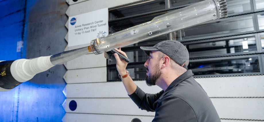
4 Min Read NASA, SpaceX Advance Wind Tunnel Tests for Starship Rocket Engineers at NASA Ames conduct transonic and supersonic wind testing on a 1.2% scale model of the Super Heavy Version 3 rocket that will launch the Starship human landing system. Credits: NASA NASA and its industry partners areContinue Reading