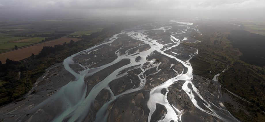
In Brief: A lot of hard work goes into ensuring a spacecraft like the Surface Water and Ocean Topography satellite delivers accurate data. In mid-June, a team of freshwater researchers spent their nights drifting down Alaska’s Yukon River in an area that straddles the Arctic Circle. The hydrologists were using a GPS unit installed on their boat to measure the slope of the river at the same time that the, Read More
2025-06-01
